NASA Map Identifies 13 Possible Martian Origins for Teghaza 001 Meteorite
Orbital data matches the mineralogy of one of the oldest Martian rocks found on Earth to southern highland sites.
By Giovanni Sapere
2 min readHuman-Edited, AI-Assisted
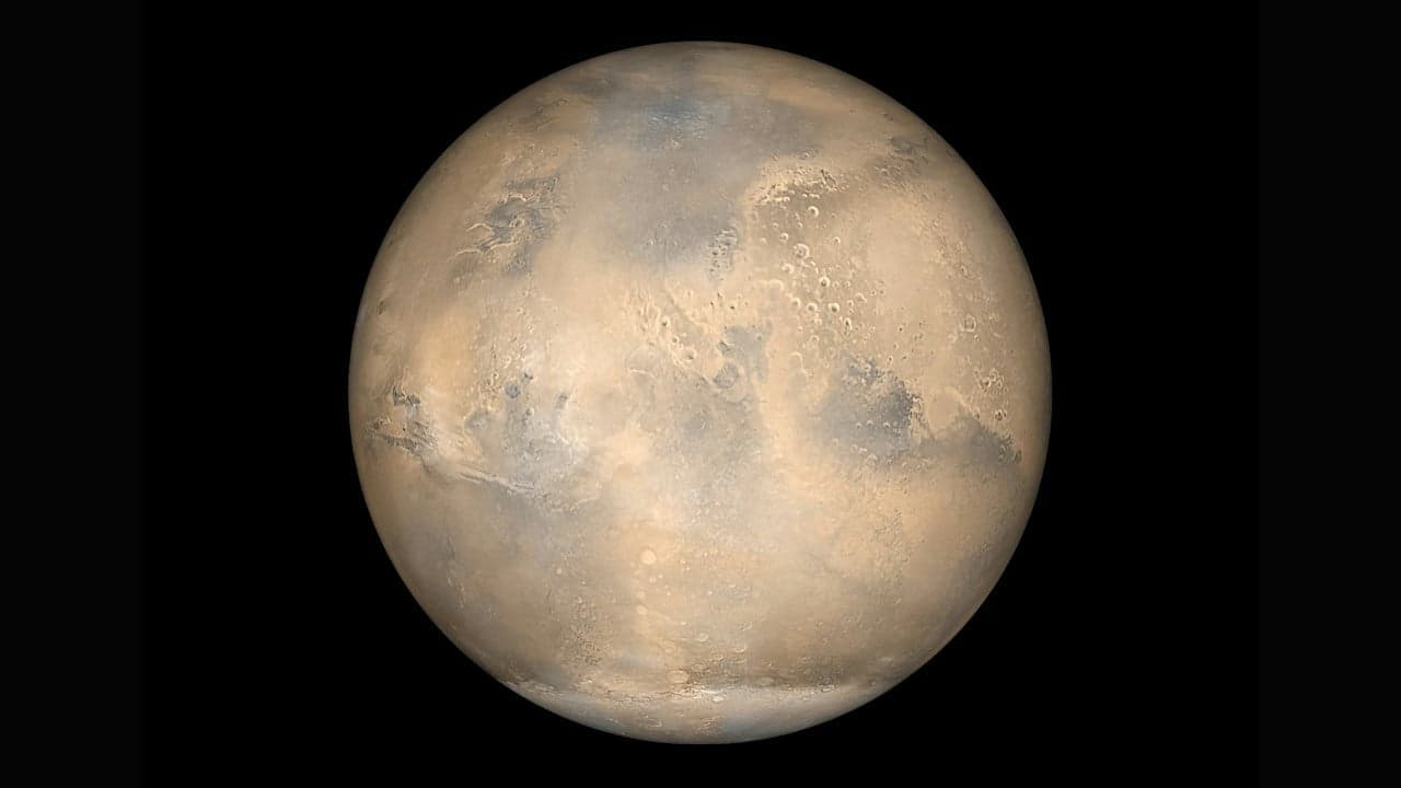
Scientists studying Mars have pinpointed 13 candidate source locations for Teghaza 001, one of the oldest Martian meteorites discovered on Earth. Using spectroscopic and topographical observations from orbital missions in space, researchers traced the unique chemical composition of the rock back to specific highland regions in the Martian southern hemisphere.
Clues in the southern highlands
Meteorites that reach Earth from Mars carry chemical fingerprints of the terrain where they formed before impact events ejected them into space. According to a research release from NASA, Teghaza 001 stands out as one of the most ancient Martian rocks collected so far. While researchers can never verify the precise crater of origin with absolute certainty, mineralogical indicators strongly associate the sample with the rugged southern hemisphere highlands.
Mapping mineral signatures from orbit
To identify where on the Red Planet Teghaza 001 might have formed, scientists relied on data from two separate orbital missions and advanced robotics. The global base map was created with measurements taken by the Mars Orbiter Laser Altimeter aboard NASA's Mars Global Surveyor mission, as detailed by NASA's Jet Propulsion Laboratory. Researchers then examined mineral and chemical readings gathered by the Mars Reconnaissance Orbiter to locate places on the surface that mirror the physical composition of the meteorite.
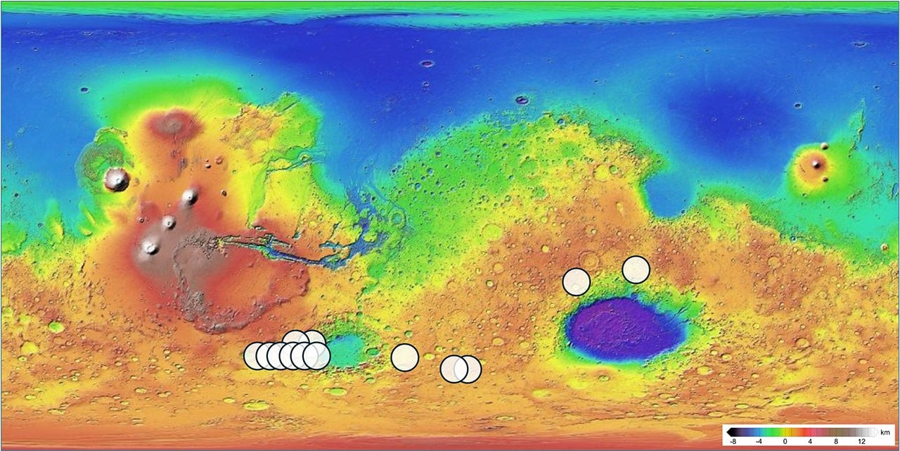 Photo: NASA
Thirteen matching candidate sites
The resulting analysis isolated exactly 13 locations that share both the chemistry and mineralogy of the ancient meteorite, each designated by a white circle on the global elevation map. This targeted mapping represents an important technological innovation in planetary geology, narrowing down the origin of an ancient geological sample across an entire planet. Further comparative analysis of these 13 highland areas will help researchers evaluate the early crustal environment of Mars, inspiring new scientific invention for upcoming planetary surveys.
Read also on The Patent: AI Agents Accelerate Radiation Shielding for Space Microchips · IBM Links Two Quantum Chips with Superconducting Cables
 Photo: NASA